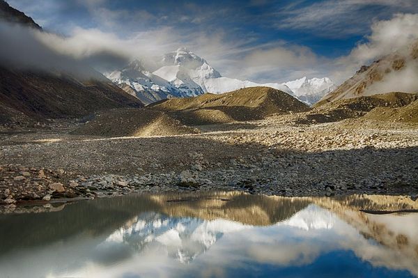
Power game had taken yet another stride in Central Asia. Russia’s influence was slowly expanding. This alarmed the British who already had colonized one of the major parts of the area, ‘India.’ With a desire to checkmate the Russian power, the British wanted to make Tibet their buffer state. However, for that, it was necessary for the British to discover, travel and investigate the area of Tibet – A difficult country to set the foot in both geographically and politically.

Tibet, during those days was a forbidden land. So, it had closed its boundaries for all the foreign nations except the neighboring countries. Therefore, if any non-Tibetan was caught doing any illegal work, the repercussions was dangerous. British made up their mind to send their secret agent into the land of Tibet who could physically map the entire country.
Now, it is quite apparent that British being smart and intelligent would only send those people who could not be easily recognized. Like many other things, for this task too, the British chose Indians. A group of educated Indians was selected from Uttar Pradesh (UP) of northern India. Since, it is a province adjacent to the Tibetan side; their looks could deceive the locals. The chosen ones was then trained by British and sent to Tibet to take lessons in topography and then design exploration maps for the British.
Nain Singh: The Fist Explorer
Deep into Tibet, Nain Singh Rawat along with his cousin Mani Singh Rawat mapped the difficult terrains of Tibet over the years only to bring valuable information back to the British. Disguised as Tibetan monks, the cousins mapped the route to Tibet through Nepal. They were the first ones, to determine the altitude and location of Lhasa along with a major segment of the Tsangpo, the large Tibetan river.
Their first journey embarked in between 1865-66, when Nain Singh traveled around 1200 miles from Kathmandu in Nepal to Lhasa and then finally to Lake Manasarovar. On his second expedition, in the year 1867, Nain investigated western Tibet and also paid a visit to the famous Thok Jalung gold mines. However, after reaching their, he observed that the workers only dug the mines near the plane as they were of the opinion that digging deeper was a sin against the Mother Earth and so it would reduce the fertility of the land. His final and utmost journey was in between 1873-75, where he traveled from Leh in Ladhak to Assam via Lhasa.
Nain Singh and his cousin Mani Singh Rawat where well compensated by the British for their great work. Nain Singh particularly was awarded at several occasions by Royal Geographic Society (RGS). In 1868, RGS presented him an inscribed gold chronometer, followed by Patron’s Medal or the award of the Victoria in1877. He was also bestowed with an inscribed watch, an award from the Society of Geographers of Paris. The Government of India awarded Nain Singh 2 plains villages as a land-grant.
Later, the maps prepared by this fiery explorer of India greatly helped the British Forces in their military expedition of 1903-1904 against Tibet. The expedition initiated by Lord Curzon and led by Younghusband was mainly to counter Russia’s influence in the Central Asia as there was a fear that Russia would soon invade the British India.

